| / USGS: US SEABED Atlantic …al Sediment Data Release
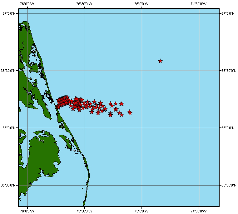
/ USGS US SEABED - Atlantic Coast Offshore Suricial Sediment Data Release.iso / metadata / NAV / ardhuin.jpg | next > |
| Joint Photographic Experts Group Image | 2005-04-20 | 210KB | 762x685 | 16-bit (6,837 colors) |
